
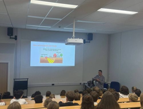
It has been a while since our last post and in case people have been wondering what we have been up to, we have been exploring some new areas for geophysical signal analysis (or new areas for us at least). In particular the use of DAS in infrastructure monitoring scenarios.
If you are unsure what DAS is, the short version is that it is a technique for measuring length change in fiber optic cables, allowing these cables to act as seismic sensors. For a more in-depth discussion, a reasonable starting point is probably this earlier blog article. On the other hand, if you are familiar with DAS you will probably be well aware that it is starting to find widespread usage in oil and gas settings. However, fiber optic cables are everywhere so there are plenty of other applications for DAS analysis, and one-such example is detecting traffic movements on roads and railways.
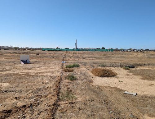
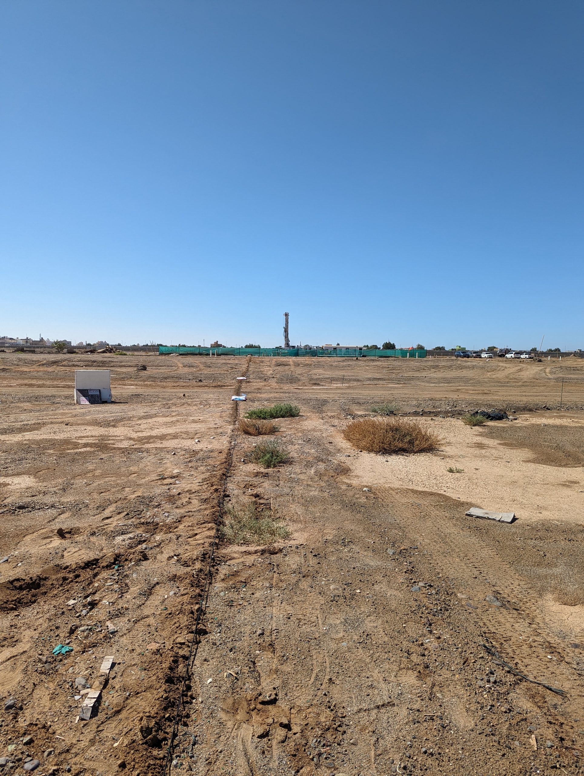
Working with Focus Sensors Ltd we have been analyzing several DAS datasets collected using fiber optic cables deployed near train tracks or roads. Having had a look at some data I think it is safe to say we have only scratched the surface of what it can tell us. Using MST’s software we have been working on problems like; signal extraction, waveform processing, modeling, and data compression.
For example, this figure shows recordings from a segment of DAS cable recording the vibrations from a passing train as well as a truck.

This particular example was recorded in from a blown FTTH cable, one of the most difficult arrangements for DAS. Nonetheless, we see clear signals from vehicles on the fiber. The left plot shows fiber channels on the horizontal axis and time on the vertical, the right plot shows typical frequency spectra as well as an individual trace. Of the two signals, the train is faster moving and hence has a flatter line in the left-hand panel plot, whereas the truck being slower has a steeper profile. The truck is also closer to the fiber and hence corresponds to larger signal amplitudes despite presumably being a smaller source. This can be seen in the bottom right trace where the truck signal is at around 5 seconds but the smaller train signal is seen at around 15 seconds. We can further examine the waveforms to assess not only vehicle speed and position but also other characteristics like track and vehicle condition.
I think it is fair to say this frontier territory for geophysical signal processing and we have only scratched the surface as to what this type of data can potentially tell us. There are of course numerous challenges along the way including; dealing with the large data volumes as well as signal separation/ extraction. Nonetheless, exciting times lie ahead.
Stay tuned for further updates.

